This post will describe one extraordinary day in early October. It takes place during the time that I cover in Diverse 360° Views of the Whites.  Guyot Shelter, above, was a great place to spend the night. The Appalachian Mountain Club had managed to place a shelter, tent platforms, and a bear box on the steep, forested slope of Mt. Bond. It was as protected as an open, uninsulated structure can be: the fourth side, usually left open, was mostly closed in except for a large door-sized opening, and a ceiling over the porch added additional shelter and luxury. We had it to ourselves, and took advantage of the railings to dry out everything–tent, sleeping sacks, sleeping bags, sleeping mats–that had gotten vaguely damp in the two days of fog. Essentially, we had our own mountain cabin for the night. We wanted to see the sunrise from the summit of Mt. Bond, 0.7 miles from the shelter. We rose in the dark and charged up the mountain in the purple pre-dawn light, seeing shafts of orange starting to spread across the sky, hoping to get there in time. We reached the summit–an open, rocky top with unimpeded 360° view of the Pemigewasset Wilderness–just as the sun was starting to show over the horizon. It was an unusually clear morning. Even the Presidential Range, with Mt. Washington at its center, lacked its usual cap of clouds. The valleys were filled with ethereal threads of fog, but we were in the peaks rising above them.

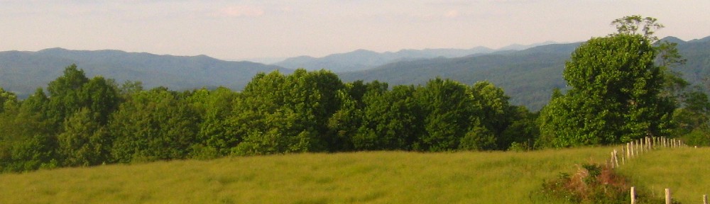
The Presidentials. Mt. Washington is the highest peak in this photo.


